Joyfully Connecting Our Community with the Wonder of the Refuge |
Chicken Creek Update
|
|
|
Click here for map fo beaver dams ->> ChickenCr_Beaver_dams_Oct2022.pdf
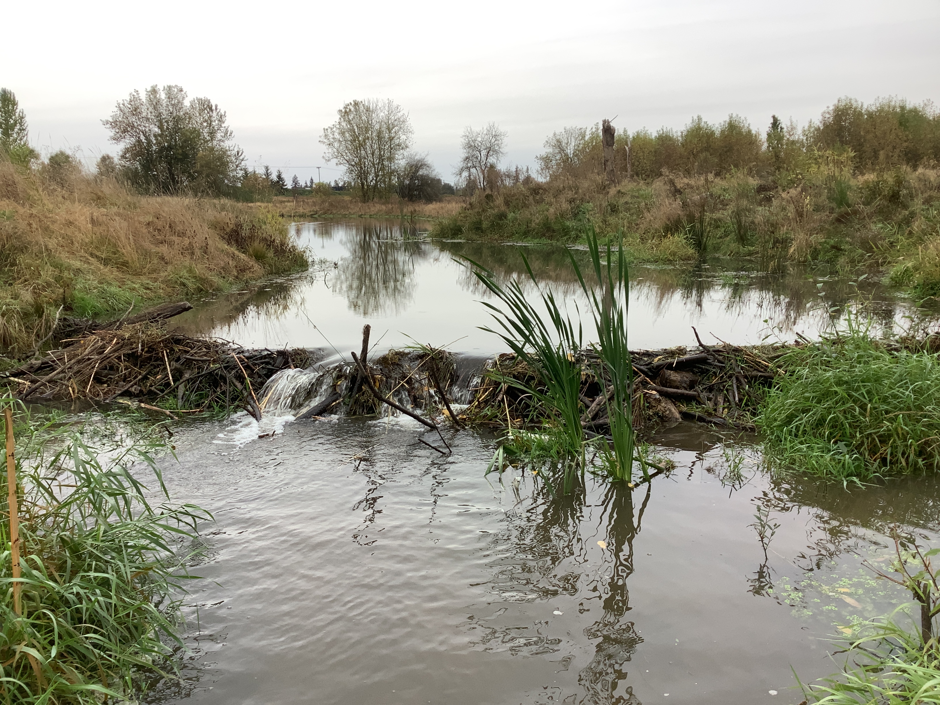
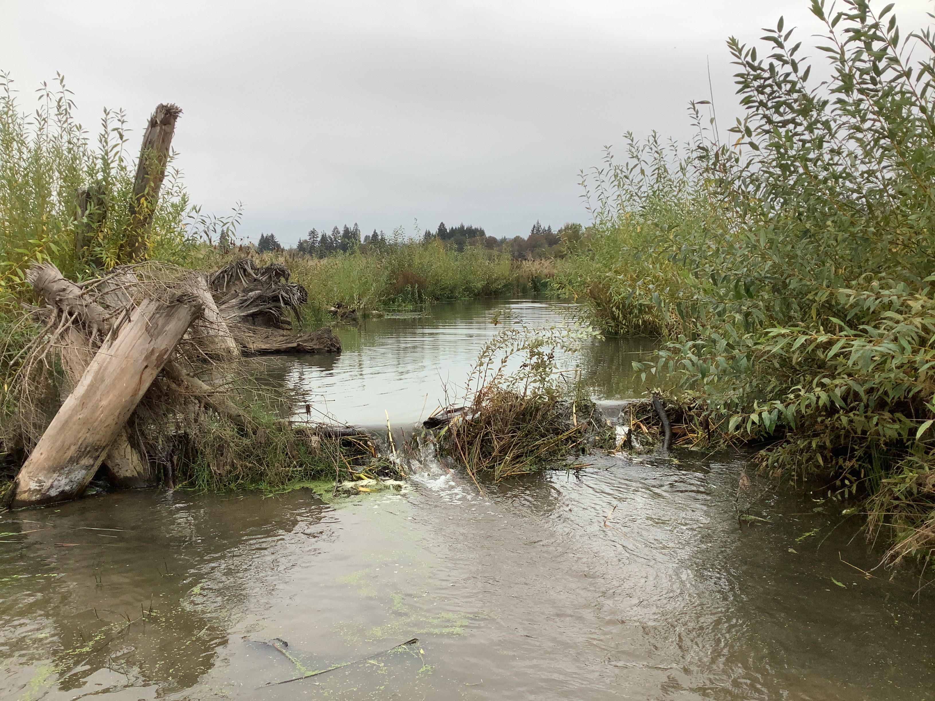
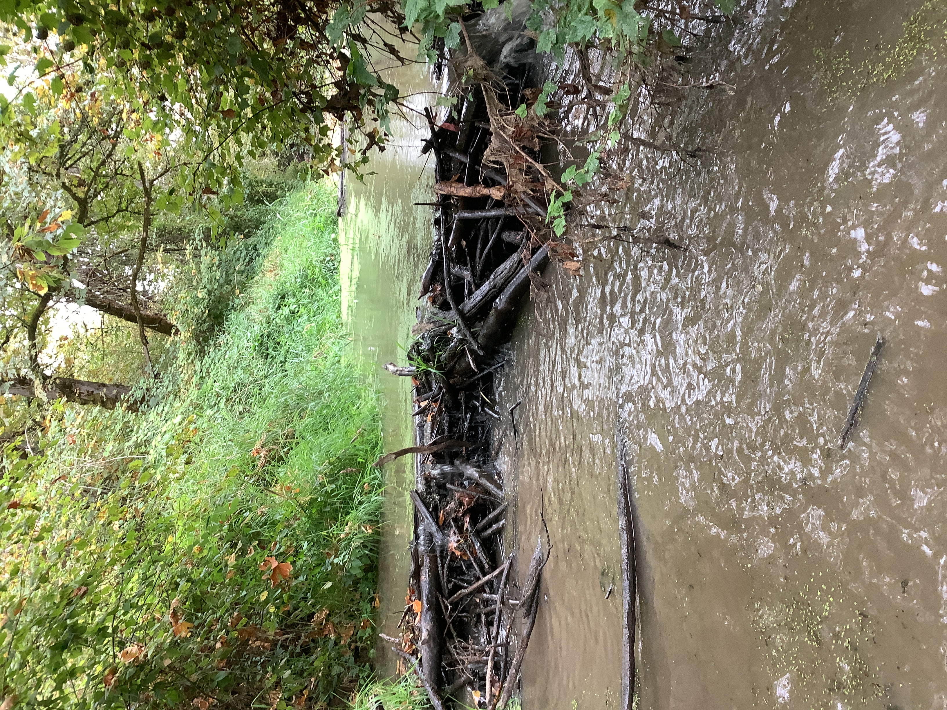
I wanted to share the results of the beaver dam monitoring that I conducted today along the entire length of Chicken Creek that runs through the Refuge (from the new vehicular bridge to the confluence with the Tualatin River). The monitoring was conducted just before the rains set in, so during the lowest flow conditions of the year (i.e. we haven't had any significant rainfall since late June). As you'll see from the map, 10 dams in total at about the 1-year mark post-restoration. If not for the dams elevating the water surface elevation of the creek, the hydrology of the creek and wetlands to the E and S would be much different (i.e. far less water in the channel and wetlands), considering how dry we've been.
The map I've attached only shows the locations of the dams, but I also collected a number of other variables like dam height, width, etc... One of the dams, in an area off the main channel was 74' wide! That dam, in concert with 2 others close by, have redirected the flow of the creek into a new channel. I've also attached a few images of the dams. The 74' wide dam was in a spot where a picture at ground level didn't do it justice, so you'll have to venture out into the floodplain with me if you want to see that one. Also note, the base map is 2022 imagery from Metro. I don't know the exact date they flew to get the imagery, but sometime early to mid-summer I suspect.
Pretty incredible what's happened out there in such a short period of time! Let me know if you have any questions.
Curt Mykut
Wildlife Biologist | Tualatin River NWRC
19255 SW Pacific Hwy.
© Friends of Tualatin River National Wildlife Refuge Terms & Conditions Privacy Policy Cookie Policy
19255 SW Pacific Hwy
Sherwood OR 97140
We are a 501(c)(3) non-profit organization dedicated to supporting the mission of the Tualatin River National Wildlife Refuge Complex


